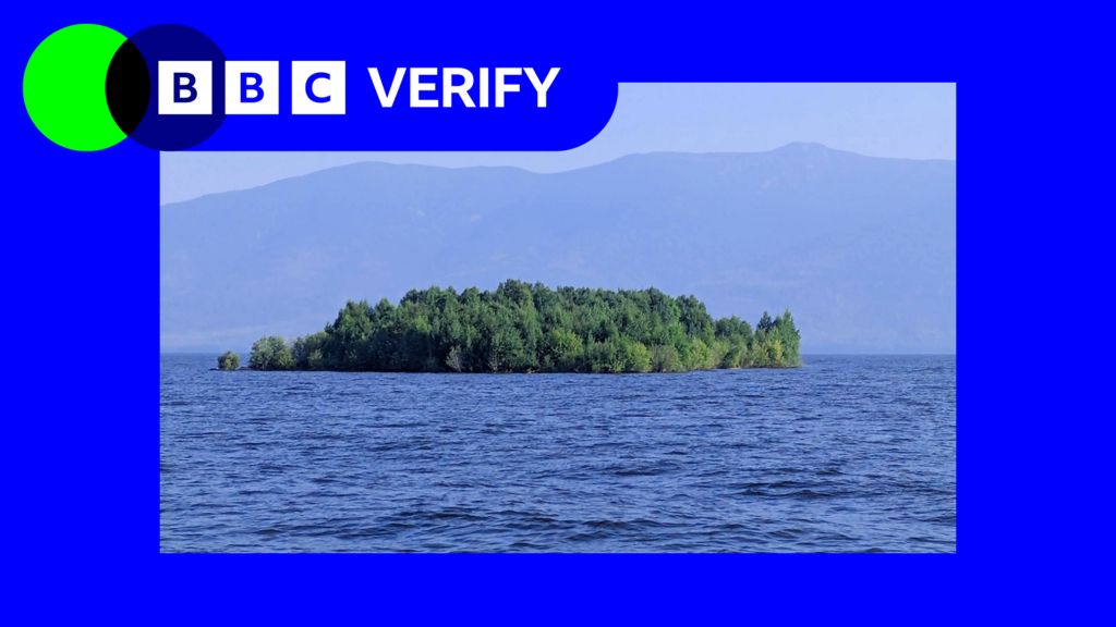
A bizarre natural phenomenon off Canada’s Pacific coast has captured global attention after a landmass that looked like a small island abruptly vanished from its long-time location, only to reemerge miles away. To untangle this puzzling event, BBC Verify launched an investigation using time-lapse satellite imagery to trace the unusual movement of the feature off the coast of British Columbia.
What many observers initially mistook for a stationary, permanent island turned out to be a massive floating mass of vegetation, sediment, and peat that broke free from its original mooring in shallow coastal waters. These rare floating landmasses, sometimes called “drifting islands,” form when accumulated organic matter and soil detach from shoreline wetlands or shallow bays due to a combination of erosion, shifting water levels, and storm activity.
Satellite data analyzed by the verification team confirms that after separating from its original location, the large floating island drifted with coastal currents and wind patterns over several weeks, eventually coming to rest miles from where it was first mapped. The unexpected disappearance and reappearance of the feature sparked widespread curiosity and speculation on social media, with many users questioning whether the event was linked to climate change-driven coastal shifts or unusual geological activity.
Climate researchers note that more frequent intense storm systems and rising sea levels along British Columbia’s coast are increasing the likelihood of such floating landmasses breaking free, as eroding shorelines weaken the anchors that hold accumulated organic sediment in place. While floating islands are not a new geological phenomenon, the high-profile tracking of this one through open-source satellite data has given scientists and the public a rare opportunity to observe how these mobile landforms move through coastal ecosystems.