On a Friday morning local time, a substantial magnitude 7.3 earthquake jolted the offshore region of southern Mexico, sending immediate shockwaves across Central America and prompting official tsunami warnings for multiple Pacific coastal zones. The United States Geological Survey (USGS) logged the seismic event at 08:49 local time (14:49 GMT), placing its epicenter close to the small fishing community of Puerto Madero, Mexico, at a relatively shallow depth of 15.2 kilometers (9 miles).
As of the latest official updates, no deaths or major structural damage have been confirmed across Mexico, Guatemala, or El Salvador, despite the tremor being felt as far as 1,000 kilometers from the epicenter. Mexico’s top navy official, Admiral Raymundo Morales, told reporters that the country had not suffered any serious adverse impacts from the quake, but urged coastal residents and visitors to move inland and avoid shorelines as a precaution. Salomón Jara Cruz, governor of Mexico’s southern Oaxaca State, echoed that assessment, noting the quake registered as moderate intensity across the region and left no significant destruction in its wake.
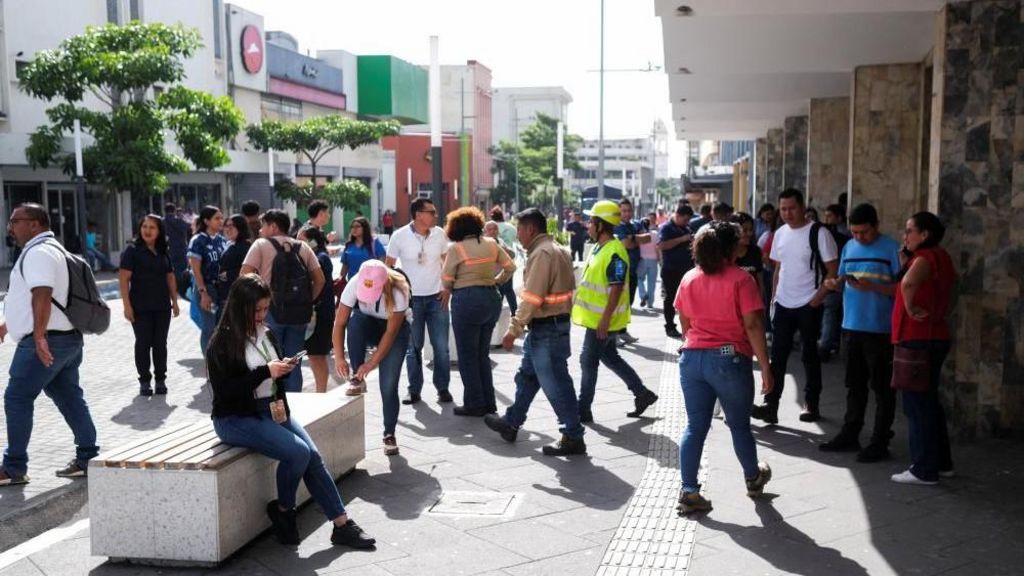
Tremors from the main quake shook high-rise and residential buildings in neighboring Guatemala and El Salvador, forcing the evacuation of multiple structures and prompting panicked residents to flee their homes in search of open, safe ground. A string of aftershocks, ranging in magnitude from 4.7 to 6.0, have been detected in the region since the initial seismic event. In Guatemala, President Bernardo Arévalo confirmed that a separate magnitude 5.6 aftershock centered near Quetzaltenango prompted the deployment of the country’s national emergency management team, but no loss of life has been recorded there. In a public post to X, Arévalo urged Guatemalan citizens to remain calm and comply with all official safety guidance.
The U.S. Tsunami Warning System, overseen by the National Oceanic and Atmospheric Administration (NOAA), issued alerts warning that hazardous tsunami waves between 0.3 meters and 1 meter above average tide levels could form along the immediate coasts of Mexico and Guatemala. For more distant Pacific coastal areas including El Salvador, Colombia, Costa Rica, Ecuador, Nicaragua, Panama, Peru and Honduras, NOAA forecast smaller tsunami surges of less than 0.3 meters above tide level.
NOAA experts emphasized that tsunamis are prolonged sequences of ocean waves, with gaps between crests stretching from five minutes to an hour, and dangerous conditions can persist for multiple hours after an initial quake. The agency warned that people caught in tsunami waters face severe risks including drowning, injury from floating debris, and being swept out to open sea. It added that local and national government agencies in at-risk zones have been directed to communicate safety guidance to vulnerable populations, and urged residents in threatened coastal areas to stay tuned for official updates and follow all instructions from emergency management authorities.