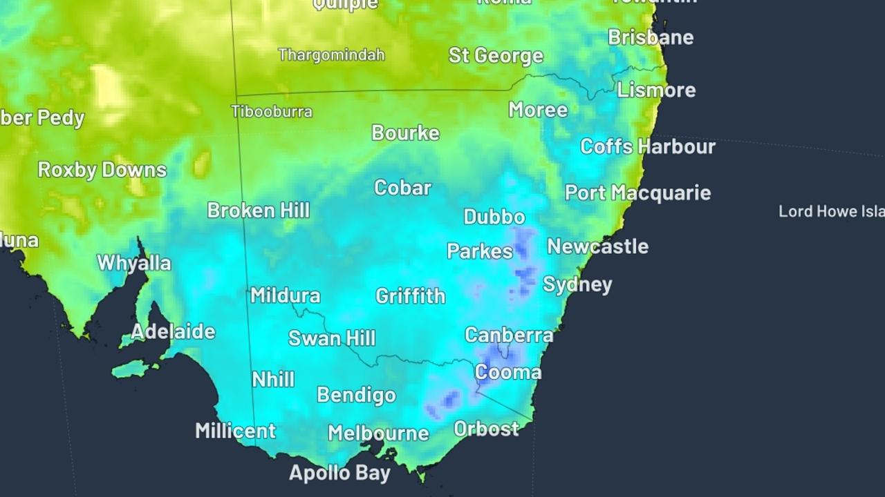
As Australia enters the deep chill of its southern winter, a sweeping, intense cold front is advancing across large swathes of the country, pushing millions of residents toward what forecasters confirm will be some of the coldest overnight temperatures recorded this year. The sharp temperature drop is primarily focused on the nation’s southeastern corner this weekend, with sub-zero and near-freezing conditions projected for multiple populated and regional areas, leading weather service Weatherzone has confirmed.
Meteorologist Anthony Sharwood notes that the alpine ski resort town of Thredbo is on track to log the country’s lowest temperature, with a forecast low of -5 degrees Celsius set for Saturday morning. Neighboring Victoria’s alpine region will also see overnight minimums drop well below the freezing mark. For Australia’s second-largest city, Melbourne, Saturday will open with a crisp, brisk 5-degree Celsius morning, while the South Australian southeast and national capital Canberra are both projected to drop to 0 degrees Celsius, bringing heavy frost across exposed areas.
Unlike the frozen southeast, Australia’s tropical northern regions and parts of the inland are facing an entirely different set of weather hazards, as a separate band of unstable weather brings heavy rain, thunderstorms, and elevated flood risk. Formal flood warnings are currently active for the far western Queensland towns of Birdsville, Roseberth Station, and Glengyle. Heavy downpours and thunderstorm activity are forecast across the Eyre Creek and upper catchment areas of the Diamantina River, the primary water systems in this remote part of the state.
Across Western Australia, unstable conditions are bringing mixed weather across the length of the state’s western coast. Gale-force winds are scheduled to impact the southern WA coast around Leeuwin and Albany on Friday, with the strong wind band moving north to reach Perth by overnight. Overnight rain is expected in Perth, but Bureau of Meteorology (BOM) forecasters project that showers will clear by Saturday morning, with the rain band shifting further north to reach Geraldton by Saturday afternoon.
BOM meteorologist Angus Hines explained that ongoing wet season patterns, which have fluctuated through this week, remain active across the northern half of the country. “From Darwin all the way through the northern east coast and south as far as Tennant Creek, we’re seeing continued unstable conditions,” Hines said. “There is a small chance of light rain across parts of the northern Kimberley, but most other areas outside the northern flood zone will stay dry, with clear, sunny conditions across most of the country this weekend.”