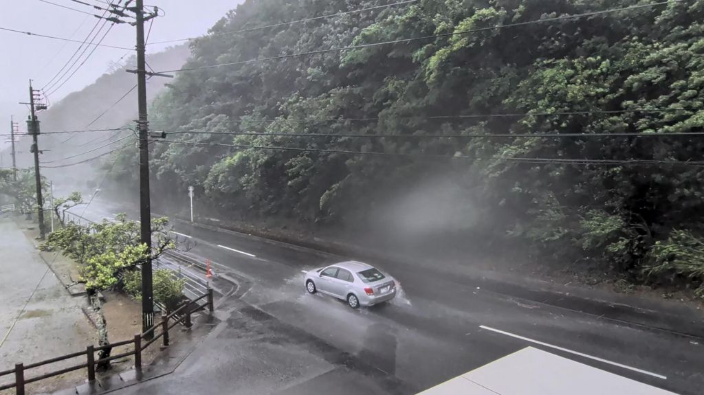
One of the most intense tropical cyclones of the 2026 Pacific typhoon season, Typhoon Dolphin, has swept through Japan’s southwestern island chain, leaving widespread disruption and minor injuries in its wake before turning toward China’s eastern seaboard, where emergency authorities have activated full preemptive safety measures.
The Japan Meteorological Agency (JMA) has classified Dolphin as a “very strong” typhoon, recording maximum sustained wind speeds of 162 kilometers per hour (101 miles per hour) when the storm made its closest approach to Okinawa prefecture on Saturday. The hardest-hit regions across Japan are the remote southern islands of Amami Oshima and the main Okinawa archipelago, which bore the full brunt of the storm’s high winds and dangerous storm surge.
As of the latest official updates from the Okinawa prefectural government, approximately 44,000 residential and commercial buildings across the affected islands have been left without electrical power, and five elderly residents have sustained non-fatal injuries from the storm. Three of the five injuries occurred when victims were knocked off their feet by powerful gusts, authorities confirmed. Local reporting from Japan’s public broadcaster NHK documents extensive storm damage across the region: countless mature trees have been uprooted across Nago City in northern Okinawa, and one passenger vehicle was found flipped onto its roof in a public parking lot, leaking motor oil onto the pavement.
Days before the storm’s arrival, regional transportation networks already began shutting down to avoid risk. Naha International Airport, Okinawa’s primary international and domestic air hub, suspended all operations and closed its runways on Friday, leading to the full cancellation of all incoming and outgoing flights for the duration of the storm’s passage.
JMA issued urgent public warnings throughout the event, cautioning residents to stay away from coastal areas due to extreme risks of life-threatening high waves, coastal flooding from storm surge, and dangerous embedded lightning strikes across the affected region.
After moving past Japan’s southwestern islands, Dolphin is projected to continue on its northwest track and make landfall along China’s eastern Zhejiang province coast sometime between late Sunday and early Monday local time. Chinese emergency management officials have moved quickly to prepare for the storm’s arrival, upgrading the provincial coastal typhoon alert to the highest possible level and halting all port operations, ferry services, and in-person schooling across at-risk coastal districts.
In line with this precautionary shutdown, Zhejiang’s Ningbo Lishe International Airport announced it would suspend all flight operations starting at 23:30 local time Saturday (15:30 GMT), with all air traffic canceled for the full day of Sunday.
This year’s Pacific typhoon activity has been shaped by a strong El Niño event, which climate researchers note creates more favorable ocean conditions for the development of unusually intense tropical cyclones. The western Pacific typhoon season typically runs from May through October, when warm sea surface temperatures fuel storm formation. On average, the JMA records 25 tropical cyclones that reach tropical storm strength in the region each year, with approximately three of those systems making landfall in Japan, a small number of which typically reach “very strong” typhoon classification matching Dolphin’s intensity.
For context, the term “typhoon” is the regional classification for mature tropical cyclones that form in the northwestern Pacific Ocean, while equivalent storms in the Atlantic and eastern Pacific oceans are referred to as hurricanes.