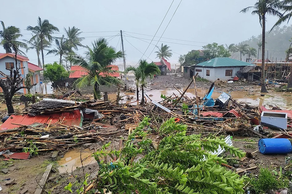
The Philippine Atmospheric, Geophysical and Astronomical Services Administration (Pagasa) has issued a weather advisory indicating Tropical Depression Wilma is advancing toward the eastern Visayas region and Dinagat Islands. The meteorological system is projected to achieve initial landfall or pass in close proximity to these areas during Friday evening or early Saturday morning (December 5-6, 2025).
According to the latest tracking models from Pagasa, Wilma maintains a consistent west-southwest trajectory that will continue through Saturday. The depression is expected to traverse the Visayas archipelago throughout Sunday before emerging over the Sulu Sea. Meteorological projections suggest the system will likely pass over northern Palawan by Monday morning.
Current meteorological data places Wilma approximately 235 kilometers east of Borongan City in Eastern Samar, recorded at 10:00 AM local time. The system generates maximum sustained winds of 45 kilometers per hour with gusts reaching 55 kilometers per hour, maintaining a west-southwestward movement at 15 kilometers per hour.
Notably, Wilma represents the Philippines’ first storm system of December 2025 and the 23rd tropical cyclone to impact the nation this year. This meteorological event marks the first utilization of a ‘W’-named tropical cyclone since 2013, which similarly carried the Wilma designation. Pagasa forecasts indicate Wilma will maintain tropical depression status throughout the monitored period, with continuous updates being provided to affected communities.
