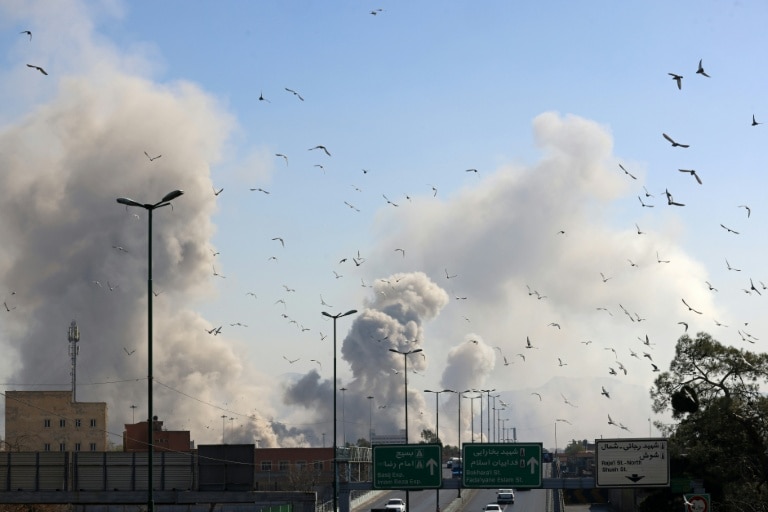
A sophisticated disinformation campaign exploiting artificial intelligence has surfaced amid escalating tensions between the United States and Iran, demonstrating how rapidly evolving technology is transforming information warfare landscapes. The controversy centers on fabricated satellite imagery that circulated across social media platforms, purportedly showing extensive damage to American military installations in the Middle East.
Tehran Times, an English-language publication with ties to the Iranian government, disseminated manipulated imagery through its social media channels claiming to depict ‘completely destroyed’ US radar equipment at a Qatari military base. Digital forensic analysis subsequently revealed the images to be artificially generated adaptations of authentic Google Earth photography from a Bahrain facility, with telltale signs of manipulation including identical vehicle positioning in both original and altered versions.
This incident represents part of a broader concerning trend where state-aligned actors leverage generative AI capabilities to produce convincing visual misinformation during international conflicts. According to open-source intelligence researcher Brady Africk, there has been a measurable increase in manipulated satellite imagery appearing across social networks following major geopolitical events. These fabrications frequently exhibit characteristic flaws of AI generation including anomalous angles, blurred details, and logically inconsistent features that don’t correspond with physical reality.
Information warfare specialist Tal Hagin identified additional AI-generated content portraying fictional military scenarios, complete with nonsensical geographical coordinates embedded within the metadata. Some fabricated images even carried invisible digital watermarks (SynthID) indicating their origin through Google’s AI image generation tools.
The emergence of these sophisticated forgeries coincides with the proliferation of impersonator open-source intelligence (OSINT) accounts on social media platforms, which deliberately undermine the work of legitimate digital investigators. This development is particularly significant given that OSINT methodologies originally emerged as tools to circumvent state censorship and verify events in conflict zones like Iran.
Historical precedents exist in both the Russia-Ukraine conflict and the brief India-Pakistan military engagement last year, where similar AI-manipulated satellite imagery was deployed for psychological operations. The implications extend beyond mere misinformation, potentially influencing public opinion on military engagement decisions and even affecting financial market behaviors based on false premises.
In response to these developments, security experts emphasize the growing importance of real-time, high-resolution satellite imagery for government decision-makers to authenticate claims and counter false narratives. Recent incidents, including fabricated images of an airport attack in Niger that were debunked through satellite verification, demonstrate the critical need for technological countermeasures.
University of Washington researcher Bo Zhao cautions that as AI-generated visuals become increasingly indistinguishable from reality, the public must cultivate heightened critical awareness when encountering potentially manipulated content presented as photographic evidence in conflict situations.