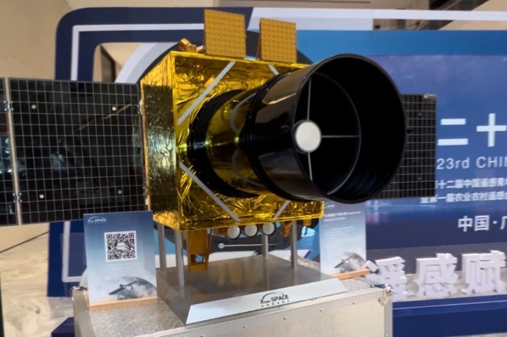
China is advancing its space technology capabilities with the development of the Wuyang Constellation, the nation’s first integrated remote sensing and communication satellite network specifically designed for low-latitude regions. According to the Institute of Aerospace Remote Sensing Innovations at Guangzhou University, the project will initiate its preliminary phase with the deployment of three pioneer satellites around 2026, with the inaugural launch scheduled for this year to test critical technologies and operational frameworks.
The ambitious initiative, a collaborative effort between Guangzhou University, the Guangzhou Municipal People’s Government, and the State Information Center, targets comprehensive coverage between 35 degrees north and south latitude. This strategic positioning aligns with China’s Greater Bay Area development objectives while serving regions including Southeast Asia, Africa, and South America.
Between 2026 and 2028, developers plan to expand the constellation with 25 application satellites capable of delivering daily full coverage of low-latitude zones with emergency response times under 30 minutes. The project’s ultimate vision involves establishing a commercial network of 1,008 satellites by approximately 2035, creating a real-time remote sensing system for global low-latitude monitoring.
Professor Gu Xingfa, Chairman of the Chinese National Committee for Remote Sensing, revealed that the Wuyang Constellation will feature advanced high-resolution, wide-swath full-spectrum payloads. This technological sophistication will enable the creation of a ‘material fingerprint’ spectral database, essentially upgrading remote sensing capabilities from basic imagery to sophisticated physical measurement and analysis.
The constellation’s deployment will occur in phases, gradually covering 15 southern Chinese provinces and 99 low-latitude countries and territories worldwide. The system promises to deliver ‘sense-while-you-send, use-while-you-get’ intelligent services specifically designed for disaster prevention, ecological monitoring, agricultural management, and resource conservation.
Commercial participation is already underway, with over 20 core enterprises signing agreements to contribute to satellite development and data services. The project has established a dedicated commercial space innovation center to integrate research, incubation, application development, and investment opportunities. By 2030, organizers anticipate achieving more than 95% real-time remote sensing coverage in target regions while stimulating industrial investment exceeding 10 billion yuan (approximately $1.45 billion).