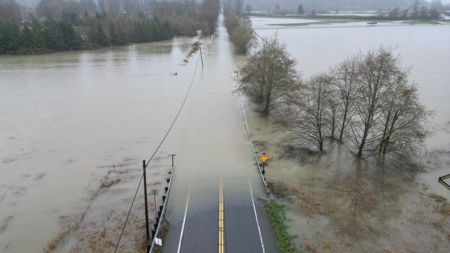
Meteorologists have identified an extraordinary confluence of climatic factors behind the devastating atmospheric rivers that have inundated Washington state with nearly 5 trillion gallons (19 trillion liters) of rainfall over seven days, pushing river systems toward record flood levels.
The persistent moisture band, described as a relentless “fire hose” by National Weather Service’s western region acting science chief Matt Jeglum, is expected to maintain intensity through Thursday before gradually diminishing. Forecast models indicate the Pacific Northwest may not see relief from this exceptional pattern until Christmas week.
These atmospheric rivers—elongated corridors of tropical moisture transport—typically occur several dozen times annually in the region. However, current events demonstrate unprecedented scale and intensity fueled by a chain of unusual conditions. The moisture originated several hundred miles north of Hawaii, where abnormally warm ocean temperatures several degrees above normal provided additional energy and vapor content.
Former NOAA chief scientist Ryan Maue, now a private meteorologist, noted the system’s continual reloading mechanism: “The amount of rainfall in the three-week period could reach 20 to 30 inches. That’s quite extreme.”
Scientific analysis reveals the event’s connection to broader climatic patterns. The initial trigger occurred two weeks ago near Indonesia, where tropical cyclone flooding interacted with the Madden Julian Oscillation—a tropical weather pattern experiencing its strongest December intensity in decades. This created an unbroken moisture channel extending toward the Americas, subsequently diverted northward by unusual pressure systems and temperature differentials involving Russian warmth and Alaskan cold.
Climate scientists emphasize the role of human-induced warming in intensifying such events. A Climate Central analysis determined ocean temperatures beneath these atmospheric rivers are ten times more likely to be abnormally warm due to climate change, while elevated Pacific Northwest air temperatures are four to five times more likely. Previous research published this year already indicated atmospheric rivers have expanded their coverage area by 6-9% and increased frequency by 2-6% since 1980.
Washington state climatologist Guillaume Mauger confirmed the Skagit River watershed faces particularly severe flood risks following combined rainfall from Monday and Wednesday’s systems. The event’s magnitude, while extraordinary, reflects emerging patterns in our warming climate where traditional weather phenomena gain destructive potential through thermodynamic enhancement.