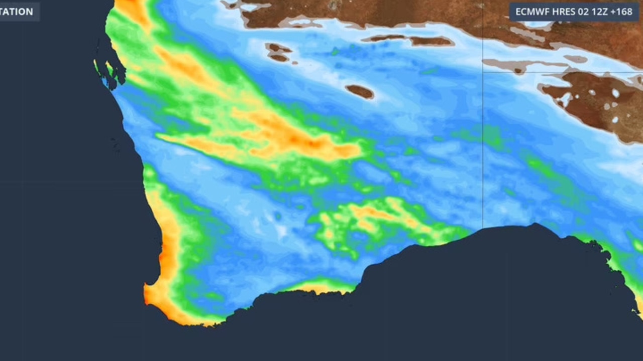
After marking its second driest July in recorded history, Western Australia’s prolonged dry period is on the cusp of ending, as successive cold fronts carrying heavy downpours and thunderstorms are predicted to sweep across the state over the coming week.
Data from Weatherzone confirms that the southwest region of WA recorded just 42.05 millimeters of average rainfall across July 2024, a figure that falls just 2.07 millimeters above the all-time low set in 2012, when the regional average hit only 39.98 millimeters. Climate scientists have long documented that the southwest corner of Western Australia has faced a consistent, decades-long decline in annual rainfall, a trend widely attributed to the impacts of human-caused climate change.
For communities parched by weeks of below-average precipitation, the latest meteorological forecasts bring a long-awaited shift: multiple cold fronts are expected to roll through the state over the next seven days, bringing accumulated rainfall that will finally snap the dry stretch. Between Friday and Saturday, the heaviest widespread totals, ranging from 5 to 15 millimeters, are expected to fall along the corridor stretching from Perth in the west to Albany in the south. Some isolated coastal areas could see even more intense downpours, and Bureau of Meteorology meteorologist Caroline Crow warned that small hail is also a possibility across southern coastal districts.
Right now, a broad cloud band stretches from the Western Pilbara region down through the state’s central and southeastern districts, Crow explained, bringing scattered, patchy rain across that swathe of land. That system is forecast to gradually weaken through Wednesday evening, with lingering patchy precipitation expected to persist across parts of the state for the rest of the week. A second cold front is already on track to reach the southwest division of WA early next week, bringing additional wet conditions across Monday and Tuesday to wrap up the period of rain that will end the state’s prolonged dry spell.