After three years of the cooling La Niña pattern that wrapped up earlier in 2026, United States climate scientists have made a formal announcement: El Niño, the naturally occurring Pacific climate cycle that drives global temperature increases, is now officially active.
The US National Oceanic and Atmospheric Administration (NOAA) confirmed that tropical Pacific sea surface temperatures have surged sharply in recent months, crossing the 0.5 degrees Celsius above-average threshold that the agency uses to mark an official El Niño event. In a statement, NOAA noted that above-average sea surface temperatures spanning the central to eastern equatorial Pacific confirm the pattern’s development over the past month. Beyond ocean warming, the agency has also recorded a shift in equatorial Pacific trade winds, a key indicator that the atmosphere is responding to warmer ocean conditions — confirming the event is not just an isolated ocean warming trend.
What has caught climate researchers off guard is the high confidence climate models have already shown in forecasting El Niño’s intensity. While a strong El Niño is defined by sea surface temperatures 1.5°C above average and a very strong event crosses the 2°C threshold, NOAA’s June outlook estimates there is a 63% probability this event will reach very strong strength between November 2026 and January 2027. If it hits that mark, it will rank among the most powerful El Niño events recorded since systematic tracking began in 1950. The three most intense events in that historical record are 1982/83, 1997/98, and 2015/16. Some cutting-edge models from both US research teams and Europe’s ECMWF go even further, projecting that tropical Pacific sea surface temperatures could rise more than 3°C above average by the end of 2026. Even so, NOAA has urged caution around extreme projections, noting that even very strong events do not produce uniform expected impacts across the globe, though more intense events do significantly increase the likelihood of classic El Niño-related disruptions.
The greatest source of concern for climate experts is that this El Niño is developing on a planet that has already warmed dramatically from decades of human-caused climate change. Adam Scaife, head of monthly to decadal prediction at the UK Met Office, explained that this new El Niño is developing on top of existing long-term global warming. This combination means regional temperatures in areas affected by El Niño could reach unprecedented levels, as the natural warming from the climate pattern adds to the warming already driven by greenhouse gas emissions. A strong El Niño typically raises global average air temperatures by roughly 0.2°C, as it releases stored ocean heat into the atmosphere. This extra warming comes at a time when global temperatures are already hitting consecutive record highs: 2024, already boosted by a relatively weak El Niño, remains the warmest year on record, and even with the cooling influence of the recent La Niña, 2025 ranked as the third-warmest year ever recorded — hotter than the 2015/16 super El Niño year. Scaife projects that by late 2026 and through 2027, global temperatures will reach extraordinary levels, with 2027 very likely pushing global average warming above 1.5°C compared to pre-industrial late-19th-century levels for another full year.
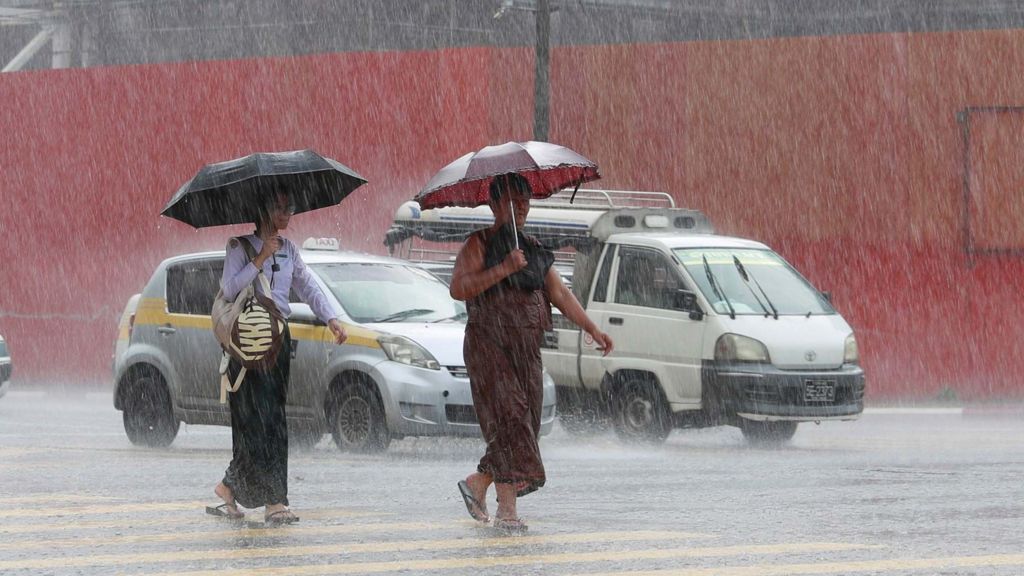
While every El Niño event has unique characteristics, the most severe impacts are concentrated in tropical regions. Classic El Niño patterns bring increased flooding risk to northern Peru, southern Ecuador, parts of East Africa, Central Asia, and the southern United States. Conversely, Australia, Indonesia, and much of northern South America face elevated risk of severe drought and wildfire, threats that directly damage agricultural production and put global food supplies at risk. El Niño also typically suppresses Atlantic hurricane activity, which might sound beneficial, but Liz Stephens, a professor of climate risk and resilience at the University of Reading, points out that this reduction in storm activity comes with a downside: it also brings reduced rainfall and heightened drought risk to Central America. Even regions as far north as the UK see subtle shifts, with El Niño slightly increasing the probability of a mild early winter followed by a cold late winter, though the connection is weak.
For vulnerable communities around the world, this forecast is not an abstract climate update. Mohamed Adow, director of climate advocacy group Power Shift Africa, emphasized that an official El Niño declaration acts as a dangerous warning for millions of people. It portends failed rainy seasons, crop failures, spiking global food prices, and increased economic hardship for communities already reeling from repeated climate disasters in recent years, particularly in East Africa.
Japan’s Meteorological Agency has aligned with NOAA’s assessment, confirming El Niño conditions are already present and are nearly certain to persist through the Northern Hemisphere autumn. Not all national climate agencies have formally declared the event underway, however. Australia’s Bureau of Meteorology uses a stricter threshold of 0.8°C above average sea surface temperatures. This week, the bureau noted that the tropical Pacific is approaching El Niño conditions, with central Pacific temperatures already meeting its threshold, but it has declined to make a formal declaration yet, while still projecting that a strong El Niño will develop later in 2026.
El Niño occurs naturally every two to seven years and typically persists for roughly 12 months. While there is still no definitive scientific consensus that climate change is making El Niño events more frequent or more intense, researchers agree that a long-warmed planet amplifies the harmful impacts of every El Niño that develops.