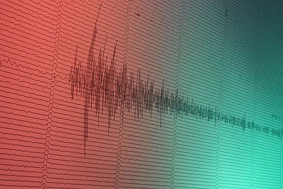
A minor seismic event measuring 3.0 magnitude occurred in Bangladesh early Sunday, according to official reports from the National Center of Seismology (NCS). The tremor was recorded at precisely 04:02:32 IST on February 1, 2026, with its epicenter located at coordinates 24.85°N latitude and 92.07°E longitude at a depth of 20 kilometers beneath the Earth’s surface.
This latest seismic activity highlights Bangladesh’s precarious geological position at the convergence point of three major tectonic plates: the Indian, Eurasian, and Burma plates. The region experiences constant tectonic pressure as the Indian plate advances northeastward at approximately 6 centimeters annually while the Eurasian plate moves northward at about 2 centimeters per year.
Seismologists have identified Bangladesh as lying within 13 earthquake-prone zones due to its proximity to multiple significant fault lines, including the Bogura fault, Tripura fault, Shillong Plateau, Dauki fault, and Assam fault. Particular concern exists for regions such as Chattogram, the Chattogram Hill Tracts, and Jaintiapur in Sylhet, which fall within the highest-risk categorization.
The seismic vulnerability is especially alarming for Dhaka, which The Daily Star identifies as one of the world’s 20 most earthquake-vulnerable urban centers. With population density exceeding 30,000 people per square kilometer, the capital city faces catastrophic potential should a major seismic event occur.
This tremor follows recent seismic activity in the region, including a 4.0 magnitude earthquake that struck Afghanistan on January 31, 2026, and a 4.1 magnitude event that affected Dhaka on December 4, 2025. Experts continue to emphasize that advanced preparedness measures, public awareness campaigns, and modern seismic monitoring technology remain crucial for minimizing potential casualties and structural damage in this seismically active region.