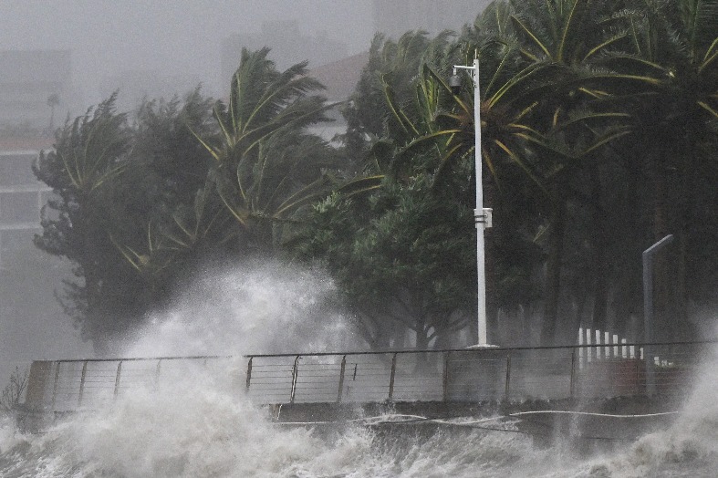
China’s National Meteorological Center has raised a blue alert for Typhoon Fengshen, the 24th typhoon of the year, as it gains strength over the South China Sea. As of 5 am on Monday, the storm’s center was positioned approximately 520 kilometers east of Sansha city in Hainan province. Currently classified as a tropical storm, Fengshen boasts maximum sustained winds of 23 meters per second, with its wind field extending 220 to 280 kilometers from the center. The typhoon is projected to move northwest at a speed of 20 to 25 kilometers per hour, potentially escalating into a severe tropical storm or even a full-fledged typhoon, with wind speeds reaching 30 to 35 meters per second. By Tuesday, a cold front is expected to redirect Fengshen southwestward toward the central coast of Vietnam, where it will likely weaken. Over the next three days, the storm is set to unleash heavy rainfall and strong winds across eastern and northern Taiwan, the coastal regions of Fujian and Guangdong provinces, Hainan Island, and the northern South China Sea. From 8 am Monday to 8 am Tuesday, northern Taiwan is forecast to experience torrential rains, with some areas receiving 100 to 200 millimeters of precipitation. Concurrently, a cold front will sweep across central and eastern China, causing temperatures to plummet by 4 to 6 degrees Celsius, with some regions experiencing drops of up to 8 degrees Celsius. The combined influence of the cold front and Typhoon Fengshen will also result in powerful winds across the southern East China Sea, Taiwan Strait, and northern and central South China Sea, with gusts reaching up to 36.9 meters per second, prompting the issuance of a yellow alert for strong winds.
