Queensland authorities have launched a groundbreaking public safety initiative by releasing a harrowing simulation video depicting the catastrophic potential of Severe Tropical Cyclone Narelle. The Category 5 system, poised to strike Far North Queensland on Friday morning, represents the first landfall event on the Cape York Peninsula in over a century.
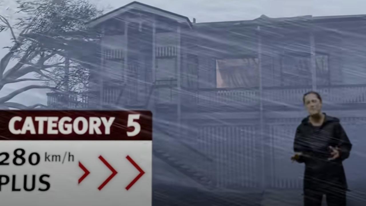
The innovative visual presentation, disseminated through the Queensland government’s Get Ready Queensland program, features Senior Meteorologist Laura Boekel from the Bureau of Meteorology. Standing before a typical Queensland residence, Boekel delivers crucial preparedness guidance while the simulation progressively demonstrates the cyclone’s destructive escalation—from intensifying winds and rain to structural collapse and flying debris.
Meteorological projections indicate wind velocities potentially reaching 260 kilometers per hour, accompanied by significant flood risks across Cape York Peninsula and North Tropical Coast regions. The simulation graphically illustrates additional hazards including flash flooding and water contamination from debris and wildlife.
Queensland Premier David Crisafulli emphasized the urgency of preparation, stating, “The window to prepare is closing quickly,” while highlighting multiple threats including storm surges and flash flooding. State Disaster Coordinator Chris Stream provided grim assessment of the cyclone’s potential lethality, noting that wind forces could propel objects at fatal velocities exceeding 100 km/h.
Emergency protocols have already been activated with evacuations conducted in Port Stewart and Lizard Island. Designated warning zones now extend from Lockhart River north to Cape Tribulation south, with remote communities establishing refuge shelters ahead of the system’s anticipated impact.