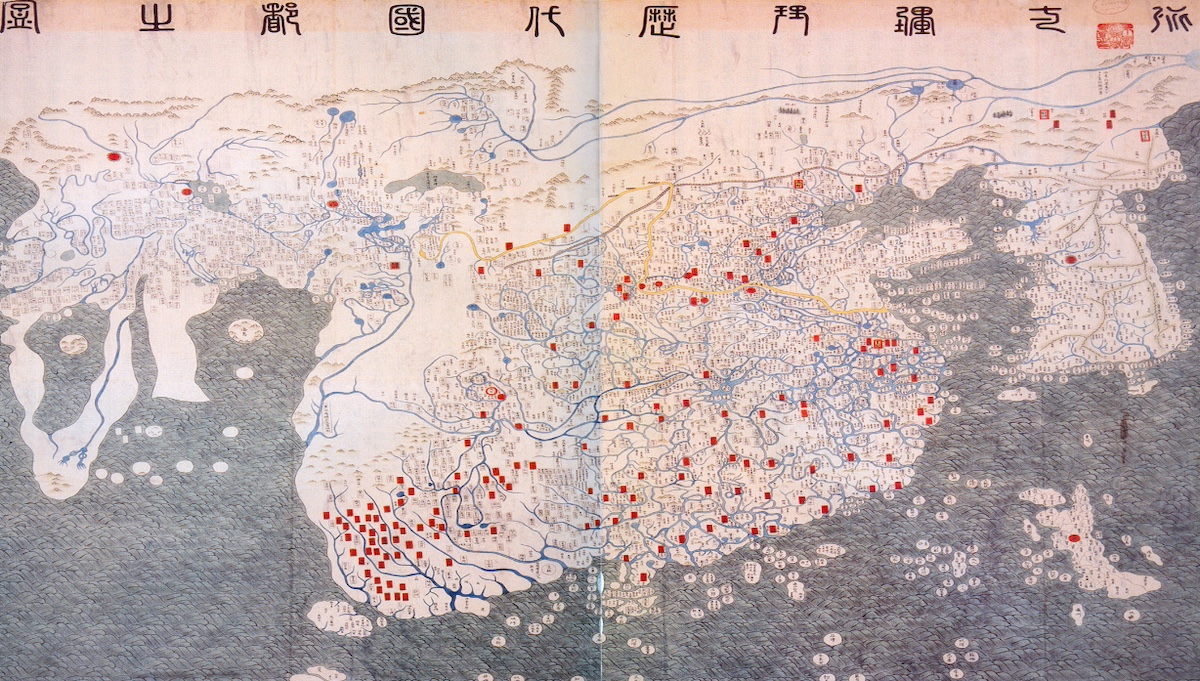
The late 16th century marked a pivotal era in global exploration, but long before Europeans reached China by sea, ancient Chinese scholars had already developed a sophisticated understanding of the world. This knowledge, encapsulated in a 15th-century map, offers a fascinating glimpse into the intellectual and cultural exchanges of the time. The *Honil Gangni Yeokdae Gukdo Ji Do* (Map of Integrated Lands and Regions of Historical Countries and Capitals), created by Koreans in 1402, is a testament to this early global awareness. This map, now housed at Ryukoku University in Kyoto, Japan, was based on earlier Chinese maps from the Mongol Yuan era, reflecting a blend of scientific geography, national sentiment, and cultural imagination. The map’s depiction of regions from Japan to Africa and Europe raises intriguing questions about how Asians acquired such detailed geographical knowledge before Europeans. Scholars suggest that Persian-Arab astronomical and geographical knowledge, transmitted during the Mongol Empire, played a crucial role. This map not only highlights the interconnectedness of ancient civilizations but also challenges the notion of a closed-off ancient China, revealing a rich tradition of intellectual and cultural exchange.