China’s top meteorological body has launched a Level IV emergency response as the nation prepares to face a spell of hazardous weather, including strong winds, intense downpours and severe convective activity. On Monday, the National Meteorological Center issued a tiered set of weather alerts: a yellow warning for strong gusts, and blue warnings for both heavy rain and severe convective weather.
China operates a standardized four-tier color-coded warning system for wind and rain events, where red marks the most severe level, followed by orange, yellow, and blue as the least urgent. For severe convective weather, the country uses a three-tier warning framework.
According to the center’s forecast, the strong wind event will impact a wide swathe of northern China between 8 a.m. Monday and 8 a.m. Tuesday. Affected regions include the provinces of Shanxi, Hebei, Liaoning and Shandong, the Inner Mongolia Autonomous Region, as well as the direct-controlled municipalities of Beijing and Tianjin. Sustained average wind speeds across these areas are projected to hit 10 to 20 meters per second, with gusts capable of reaching up to 28 meters per second in hard-hit zones. These conditions are strong enough to uproot fully grown trees and cause structural damage to buildings and infrastructure.
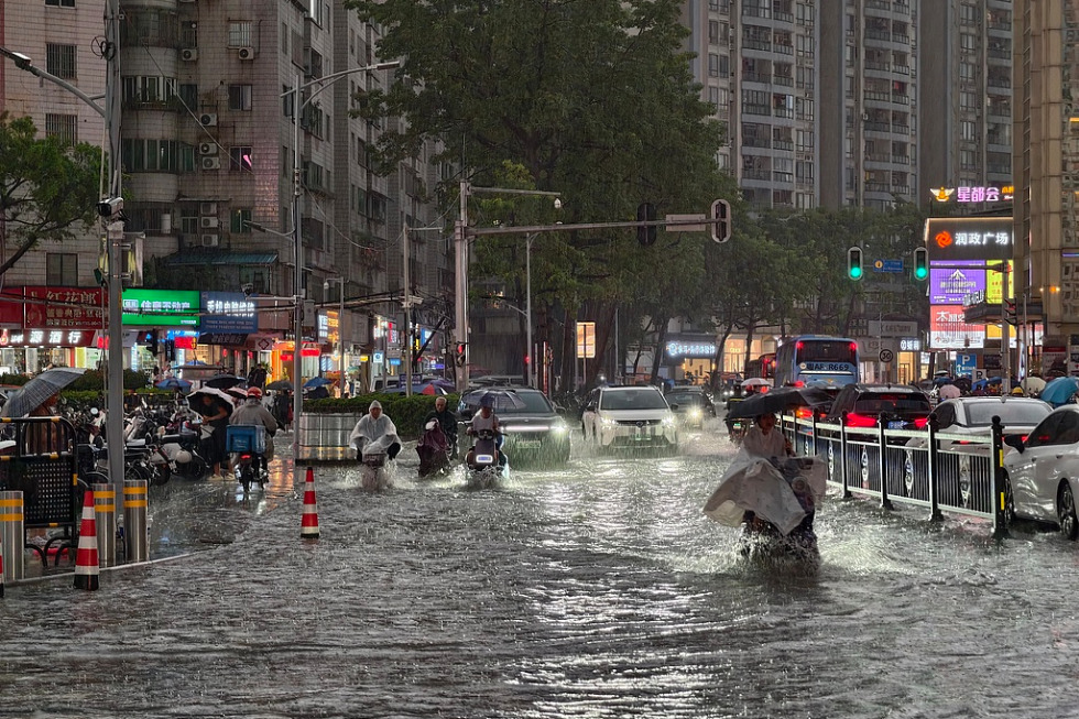
Over the same 24-hour window, heavy rainfall will lash multiple regions in southern and central China, including Chongqing Municipality, Guizhou, Hunan, Hubei provinces and the Guangxi Zhuang Autonomous Region. Some localities are expected to record total precipitation of 100 to 140 millimeters, with short-duration intense rain events driving the bulk of the accumulation. Hourly rainfall totals are forecast to peak at 20 to 50 millimeters, and the downpours will be paired with severe convective hazards including thunderstorms, sudden wind gusts and hail.
In specific high-risk zones, the hazards carry elevated risks to life and property. Parts of southwestern Guizhou and western Guangxi face dangerous thunderstorm gales, where gusts could be strong enough to collapse unstable informal housing and damage power transmission infrastructure. In sections of eastern and southwestern Hunan, as well as northern Guangxi, hourly rainfall will climb above 50 millimeters, with some locations even exceeding 60 millimeters of rain in a single hour – conditions that raise the risk of flash flooding and secondary disasters.
To reduce the risk of harm, the National Meteorological Center has issued a series of public safety guidance. Vessels operating in affected coastal and inland waters are urged to proceed with extreme caution to avoid wind and wave-related accidents. Residents across all impacted regions have been advised to cut back on non-essential outdoor activities, and maintain a safe distance from flimsy temporary structures such as construction scaffolding and temporary market stalls.
Meteorological officials have also called on local authorities to take proactive preparatory measures. These include stepping up fire prevention work, securing loose or easily moved outdoor structures, prepping urban and rural drainage systems to handle heavy runoff, and putting early response plans in place to manage secondary disasters such as mountain torrents, landslides and mudslides.