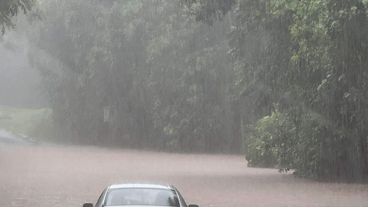
Northern Queensland communities are confronting a severe weather crisis as unprecedented rainfall triggers major flooding while meteorologists monitor a developing weather system that could potentially intensify into a tropical cyclone. The region has experienced what officials describe as “catastrophically above average” precipitation levels, with the coastal city of Townsville recording 381mm of rainfall within just five days—surpassing its entire December total of 330mm.
The Bureau of Meteorology indicates that while inland flood-affected areas may experience temporary relief as the heaviest rainfall shifts coastward, the situation remains critical. Senior meteorologist Livio Regano explained that a trough currently positioned near Townsville is expected to evolve into a monsoon trough later this week, potentially developing into a cyclonic system over the Coral Sea.
Despite concerns about cyclone formation, Regano noted that the system’s movement could paradoxically benefit flooded regions by drawing heavy rainfall away from the mainland. However, forecasts suggest the low-pressure system might return toward the coast by weekend, bringing renewed heavy rainfall regardless of whether it achieves cyclonic status.
Current flood emergencies persist along the Western and Flinders Rivers, where waters continue rising with the Flinders River at Walkers Bend reaching 15.93 meters. Authorities have issued stern warnings against entering floodwaters and anticipate multiple flood peaks across river systems in coming days as additional rainfall is expected later in the week.