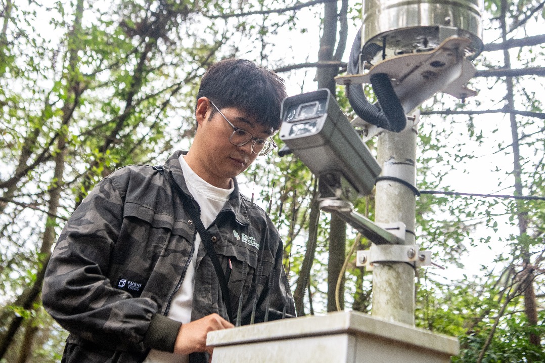
A technological transformation is reshaping how China safeguards its natural heritage, replacing traditional manual surveys with an integrated network of advanced monitoring systems. Where researchers once carried heavy equipment through challenging terrain, a sophisticated ‘Five Platforms System’ now employs satellites, drones, monitoring towers, mobile patrols, and ground stations to conduct comprehensive biodiversity assessments.
At the forefront of this revolution is the Satellite Application Center for Ecology and Environment (SACEE), where director Wu Jiyou explains the paradigm shift: ‘Previously, surveys were predominantly manual, limited in scope, slow and labor-intensive. Our integrated approach now covers larger areas, operates more efficiently, and is sustainable.’
The system leverages China’s Gaofen satellite series, which provides frequent high-resolution data enhanced by hyperspectral imagery and lidar technology. Specialists like Wan Huawei have utilized these capabilities to address ecological challenges ranging from invasive Spartina alterniflora mapping to snow leopard conservation efforts through habitat connectivity analysis.
On the grasslands of Inner Mongolia, engineers are building one of China’s most comprehensive biodiversity databases. Field engineer Wang Yongcai and his colleagues document grass species and ecosystem health during extensive summer fieldwork. ‘It’s demanding work, but we believe it’s extremely meaningful,’ says Wang, whose team has achieved over 80% accuracy in plant species identification in pilot areas.
The technological advancement extends to specialized equipment including multifunctional ecological mobile patrol vehicles equipped with self-developed animal recognition models that automatically identify, count, and track wildlife populations. Innovation continues with four-legged robotic ‘dogs’ that autonomously navigate terrain, photograph vegetation, and transmit images in real-time for plant diversity surveys.
According to SACEE chief scientist Gao Jixi, the system represents more than just monitoring tools: ‘It is a sophisticated, multidimensional network engineered specifically for ecological remote sensing needs. The integration of equipment, data and applications links every phase of the monitoring process, requiring extensive collaboration across regions and administrative levels.’
This comprehensive approach supports China’s commitment to implementing the Kunming-Montreal Global Biodiversity Framework through sustained technological advancement in ecological monitoring capabilities.