A groundbreaking study from Chinese scientists has elucidated the critical role of urban surface heat sources in amplifying extreme heat phenomena within major metropolitan clusters. Researchers at the Northwest Institute of Eco-Environment and Resources (NIEER), operating under the Chinese Academy of Sciences, have systematically analyzed how urbanization patterns interact with atmospheric energy dynamics to exacerbate compound high-temperature events.
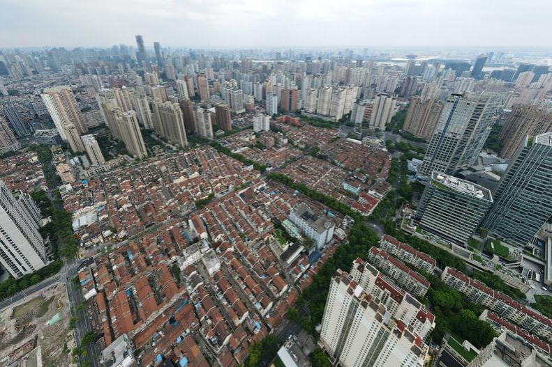
The investigation focused on China’s four primary urban agglomerations: the Beijing-Tianjin-Hebei region, Pearl River Delta, Yangtze River Delta, and Chengdu-Chongqing economic zone. Through comprehensive statistical analysis, the research team documented distinct seasonal and spatial patterns in surface heat distribution, revealing a consistent “strong in summer, weak in winter” cyclical pattern across all regions.
Notably, the study identified significant regional variations in heat distribution. The Beijing-Tianjin-Hebei region demonstrates stronger southern heat sources with northern areas occasionally transforming into thermal sinks during winter months. Conversely, the Yangtze River Delta exhibits concentrated heat sources along river networks, while major cities surprisingly manifest lower surface heat levels than surrounding areas.
Research lead Gao Xiaoqing emphasized that these thermal patterns result from complex interactions between topography, climatic conditions, and urbanization intensity. The findings demonstrate that while surface heat sources substantially influence the frequency of compound extreme heat events, their effect on event intensity remains comparatively limited.
Published in the prestigious journal Science China Earth Sciences, this research provides crucial insights for urban planning and climate resilience strategies. The identification of specific heat distribution mechanisms enables more targeted approaches to mitigating urban heat island effects and protecting public health during extreme temperature events.